


Tiger Reserve Encroachment Case: 166 Accused Deny Illegal Logging
Digital Desk
166 Accused in Tiger Reserve Encroachment Reject Illegal Logging Charges
Satellite imagery and digital evidence contradict claims in Chhattisgarh's Udanti-Sitanadi sanctuary
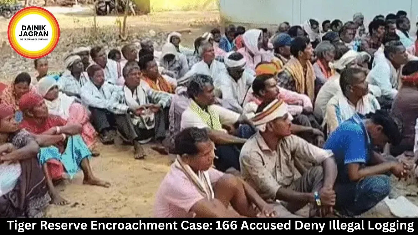
In a significant twist to the illegal logging case at Udanti-Sitanadi Tiger Reserve, 166 accused individuals filed written responses Thursday dismissing all charges related to unauthorised tree-felling and encroachment across 265 acres of forest land. The submissions were formally presented to the office of the sub-divisional officer in the heart of Chhattisgarh's Gariyaband district.
The accused maintained they are long-term cultivators on ancestral land and have violated no forest regulations. Several claimed that the disputed plots—particularly sector 324 bordering the hamlet of Jaitpuri—fall within private property boundaries where security personnel remain stationed, making clandestine felling impossible.
Digital Trail Tells Different Story
Yet satellite imagery and drone surveys paint a starkly different picture. Sub-divisional officer Varun Jain, who spearheaded the investigation, presented evidence gathered over two decades of satellite data. Between 2010 and 2022, he said, large-scale tree-cutting accelerated dramatically. By 2011, around 45 hectares had been cleared. Within the next decade, that figure nearly doubled to 106 hectares.
The forest department had conducted systematic field investigations following the encroachment disclosure, documenting tree stumps and charred remains through ground surveys. Physical evidence was catalogued in accordance with standard forest eviction protocols. Officials have filed cases under the Wildlife Protection Act.
Uncovering Years of Overlooked Violations
The systematic unmasking of illegal occupation began only after 2022, when Jain assumed charge as sub-divisional officer. His team, leveraging satellite technology and Google Earth historical archives, developed a remote sensing portal containing over 20 years of ISRO satellite imagery. Frame-by-frame analysis of satellite pictures from 2006, 2008, and 2010 progressively revealed the extent of unauthorised clearing.
The portal became instrumental in tracking forest degradation patterns across the sanctuary. Earlier satellite snapshots contrasted sharply with recent imagery, exposing decade-old encroachments that had gone undetected during conventional ground inspections.
Earlier Eviction Operations
Prior to the current enforcement action, the forest department had conducted evictions across 12 settlements—including Ghoragarh, Sormarh, Budhgeltappa, and Karipani—freeing approximately 850 hectares. The recovered land was estimated at ₹510 crore in value. Authorities subsequently initiated afforestation programmes on cleared plots and constructed water-conservation structures including contour trenches.
Where Next?
The sub-divisional officer's office confirmed all digital evidence will be presented before the wildlife protection court, where final determinations will be made. Whether the accused can substantiate their counterclaims regarding land ownership or prior cultivation rights remains to be tested.
For now, satellite data—impartial and extensive—stands as the prosecution's foundation. Officials maintain the chronological record of forest cover loss speaks for itself.
.jpg)


