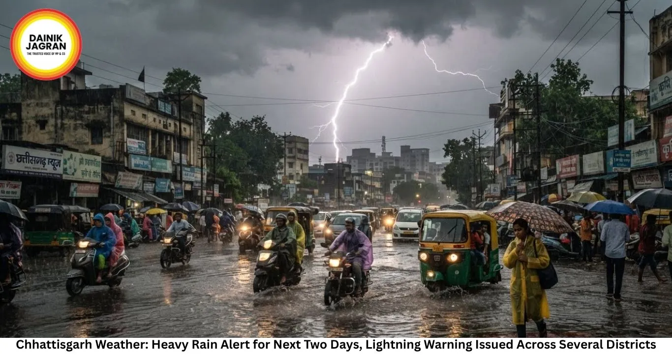
Chhattisgarh Weather: Heavy Rain Alert for Next Two Days, Lightning Warning Issued Across Several Districts
Digital desk
The India Meteorological Department (IMD) has forecast another spell of widespread rainfall across Chhattisgarh over the next 48 hours, with heavy rain likely in parts of central and northern districts. Thunderstorms, lightning and gusty winds are also expected, prompting authorities to advise residents to remain cautious during adverse weather conditions.
The latest forecast comes as the southwest monsoon remains active over the state. During the past 24 hours, several districts recorded light to moderate rainfall, while isolated pockets received heavier showers. According to weather officials, the prevailing atmospheric conditions are favourable for continued rainfall across much of the state.
Raipur and Durg recorded the highest daytime temperature of 30.8 degrees Celsius during the period, while Pendra Road registered the lowest minimum temperature at 21 degrees Celsius.
Among the districts that received significant rainfall, Dharamjaigarh recorded around 30 mm, the highest in the state. Lailunga, Korba, Kapu and Kharsia each received nearly 20 mm of rain. Moderate showers were also reported from Bijapur, Naya Baradwar, Kartala, Salhewara, Lal Bahadur Nagar, Kansabel, Pathalgaon and Manpur, where around 10 mm rainfall was measured.
The Meteorological Department has indicated that rainfall activity is expected to intensify over the next two days. While light to moderate showers are likely across many districts, isolated locations in central and northern Chhattisgarh could witness moderate to heavy rainfall.
Officials have also warned of thunderstorms accompanied by lightning at isolated places. Residents have been advised to avoid open fields, water bodies and sheltering under trees during lightning activity. Farmers and people working outdoors have been asked to monitor weather updates before venturing out.
The continuing rainfall is being driven by favourable synoptic conditions over central India. According to meteorologists, the monsoon trough currently extends from Jaisalmer through a low-pressure area over southwest Rajasthan, passing via Kota, Guna, Sidhi and Daltonganj before reaching the northeast Bay of Bengal.
In addition, an upper-air cyclonic circulation persists over northern Gangetic West Bengal and adjoining Bangladesh. Weather experts expect a fresh low-pressure area to develop over the region within the next 24 hours, which could further strengthen rainfall activity across Chhattisgarh and neighbouring states.
Despite intermittent heavy showers in some areas, seasonal rainfall across Chhattisgarh remains within the normal category. From June 1 until now, the state has recorded rainfall that is around 18 per cent below the long-period average. However, the IMD classifies rainfall between minus 19 per cent and plus 19 per cent as "normal," meaning the state's overall monsoon performance continues to remain within acceptable limits.
In the capital, Raipur, cloudy skies are expected to persist throughout Friday. Meteorologists have forecast one or two spells of rain or thundershowers during the day. The maximum temperature is likely to hover around 31 degrees Celsius, while the minimum temperature may remain close to 24 degrees Celsius.
The latest weather advisory comes amid rising concern over swollen rivers and waterlogged areas following continuous rainfall in several districts. In Bilaspur district, rescue teams are continuing their search for a fisherman who was swept away by the strong current of the Shivnath River earlier this week, underscoring the risks associated with overflowing rivers during the monsoon season.
Authorities have appealed to people living near rivers, streams and low-lying areas to remain alert as rainfall continues. District administrations have also advised commuters to exercise caution on waterlogged roads and avoid crossing flooded stretches until water levels recede.
With the monsoon expected to remain active over the coming days, weather officials will continue monitoring the evolving system and issue fresh advisories if rainfall intensity increases.

--------
🚨 Beat the News Rush – Join Now!
Get breaking alerts, hot exclusives, and game-changing stories instantly on your phone. No delays, no fluff – just the edge you need. ⚡
Tap to join:
🟢 WhatsApp Channel: Dainik Jagran MP CG
Crave more?
🅕 Facebook: Dainik Jagran MP CG English
🅧 Twitter (X): Dainik Jagran MP CG
🅘 Instagram: Dainik Jagran MP CG
Share the fire – keep your crew ahead! 🗞️🔥
Chhattisgarh Weather: Heavy Rain Alert for Next Two Days, Lightning Warning Issued Across Several Districts
Digital desk
The latest forecast comes as the southwest monsoon remains active over the state. During the past 24 hours, several districts recorded light to moderate rainfall, while isolated pockets received heavier showers. According to weather officials, the prevailing atmospheric conditions are favourable for continued rainfall across much of the state.
Raipur and Durg recorded the highest daytime temperature of 30.8 degrees Celsius during the period, while Pendra Road registered the lowest minimum temperature at 21 degrees Celsius.
Among the districts that received significant rainfall, Dharamjaigarh recorded around 30 mm, the highest in the state. Lailunga, Korba, Kapu and Kharsia each received nearly 20 mm of rain. Moderate showers were also reported from Bijapur, Naya Baradwar, Kartala, Salhewara, Lal Bahadur Nagar, Kansabel, Pathalgaon and Manpur, where around 10 mm rainfall was measured.
The Meteorological Department has indicated that rainfall activity is expected to intensify over the next two days. While light to moderate showers are likely across many districts, isolated locations in central and northern Chhattisgarh could witness moderate to heavy rainfall.
Officials have also warned of thunderstorms accompanied by lightning at isolated places. Residents have been advised to avoid open fields, water bodies and sheltering under trees during lightning activity. Farmers and people working outdoors have been asked to monitor weather updates before venturing out.
The continuing rainfall is being driven by favourable synoptic conditions over central India. According to meteorologists, the monsoon trough currently extends from Jaisalmer through a low-pressure area over southwest Rajasthan, passing via Kota, Guna, Sidhi and Daltonganj before reaching the northeast Bay of Bengal.
In addition, an upper-air cyclonic circulation persists over northern Gangetic West Bengal and adjoining Bangladesh. Weather experts expect a fresh low-pressure area to develop over the region within the next 24 hours, which could further strengthen rainfall activity across Chhattisgarh and neighbouring states.
Despite intermittent heavy showers in some areas, seasonal rainfall across Chhattisgarh remains within the normal category. From June 1 until now, the state has recorded rainfall that is around 18 per cent below the long-period average. However, the IMD classifies rainfall between minus 19 per cent and plus 19 per cent as "normal," meaning the state's overall monsoon performance continues to remain within acceptable limits.
In the capital, Raipur, cloudy skies are expected to persist throughout Friday. Meteorologists have forecast one or two spells of rain or thundershowers during the day. The maximum temperature is likely to hover around 31 degrees Celsius, while the minimum temperature may remain close to 24 degrees Celsius.
The latest weather advisory comes amid rising concern over swollen rivers and waterlogged areas following continuous rainfall in several districts. In Bilaspur district, rescue teams are continuing their search for a fisherman who was swept away by the strong current of the Shivnath River earlier this week, underscoring the risks associated with overflowing rivers during the monsoon season.
Authorities have appealed to people living near rivers, streams and low-lying areas to remain alert as rainfall continues. District administrations have also advised commuters to exercise caution on waterlogged roads and avoid crossing flooded stretches until water levels recede.
With the monsoon expected to remain active over the coming days, weather officials will continue monitoring the evolving system and issue fresh advisories if rainfall intensity increases.