


Cyclonic Circulations Trigger Cloud Cover Across Madhya Pradesh; Brief Relief from Severe Cold Expected
Digital Desk
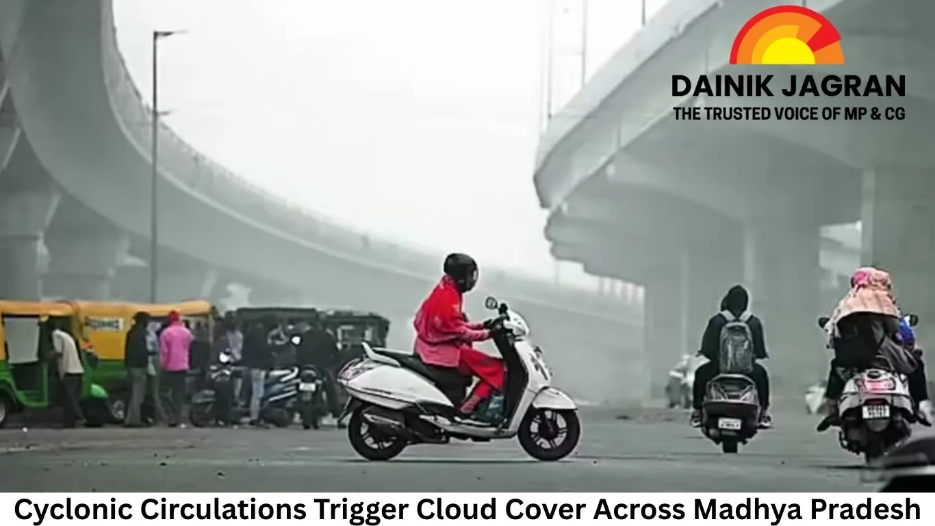
Several districts, including Bhopal and Narmadapuram, remained under dense cloud cover on Sunday, leading to a marginal rise in daytime temperatures. Meteorological officials said the upper-air circulations have altered wind patterns, preventing the sharp daytime cooling seen earlier this month.
Morning fog was reported across a wide swathe of the state on Monday. Moderate fog reduced visibility in Gwalior, Bhind, Datia, Niwari, Tikamgarh, Chhatarpur, Panna and Satna, while light fog was observed in more than a dozen districts, including Indore, Ujjain and Bhopal. Despite cloud cover, minimum temperatures continued to remain low in several regions.
Shahdol district recorded the coldest night in the state, with Kalyanpur registering a minimum temperature of 3.7 degrees Celsius between Saturday and Sunday. Other cold pockets included Khajuraho at 5.8 degrees, Naogaon and Umaria at 6 degrees, Rewa at 6.4 degrees, Pachmarhi at 6.8 degrees, Mandla at 7.2 degrees and Malajkhand at 7.6 degrees Celsius.
In contrast, minimum temperatures in the state’s five major cities stayed above 10 degrees. Bhopal recorded 11 degrees, Indore 12 degrees, Gwalior 10 degrees, Ujjain 13 degrees and Jabalpur 10.5 degrees Celsius.
Weather officials said a Western Disturbance currently active over Pakistan is likely to influence northwestern India over the coming days. Two additional Western Disturbances are expected to become active on the nights of January 19 and January 21. Their combined effect could extend into Madhya Pradesh, increasing the likelihood of light rainfall or drizzle at isolated locations around January 22 and 23.
This winter has been among the harshest the state has experienced in recent decades. November witnessed the coldest spell in 84 years, while December broke a 25-year temperature record. January has continued the trend, with Bhopal surpassing its 10-year cold record. Some areas of the state have even reported sub-zero temperatures earlier this month.
According to the Meteorological Department, December and January are the peak months for severe winter conditions, similar in importance to July and August during the monsoon. The frequent incursion of cold northern winds and the passage of Western Disturbances often lead to sharp temperature drops and occasional winter rainfall, locally known as ‘Mawatha’.
.jpg)


